
Urban Planning
Urban planning is the discipline of shaping how land inside a city is used, and it is the branch of architecture and public policy that decides where housing, streets, parks and services go before a single building is drawn. The practice is one of the oldest public professions: the City Beautiful movement of the 19th century gave it a formal name, and its modern definition, the development and design of plans for land use and the built environment, including air, water and infrastructure such as transportation and communications, is the one the profession still uses today. A city is the object of this architecture of the public realm, and the plan is the drawing that makes the city a system rather than a collection of separate buildings.
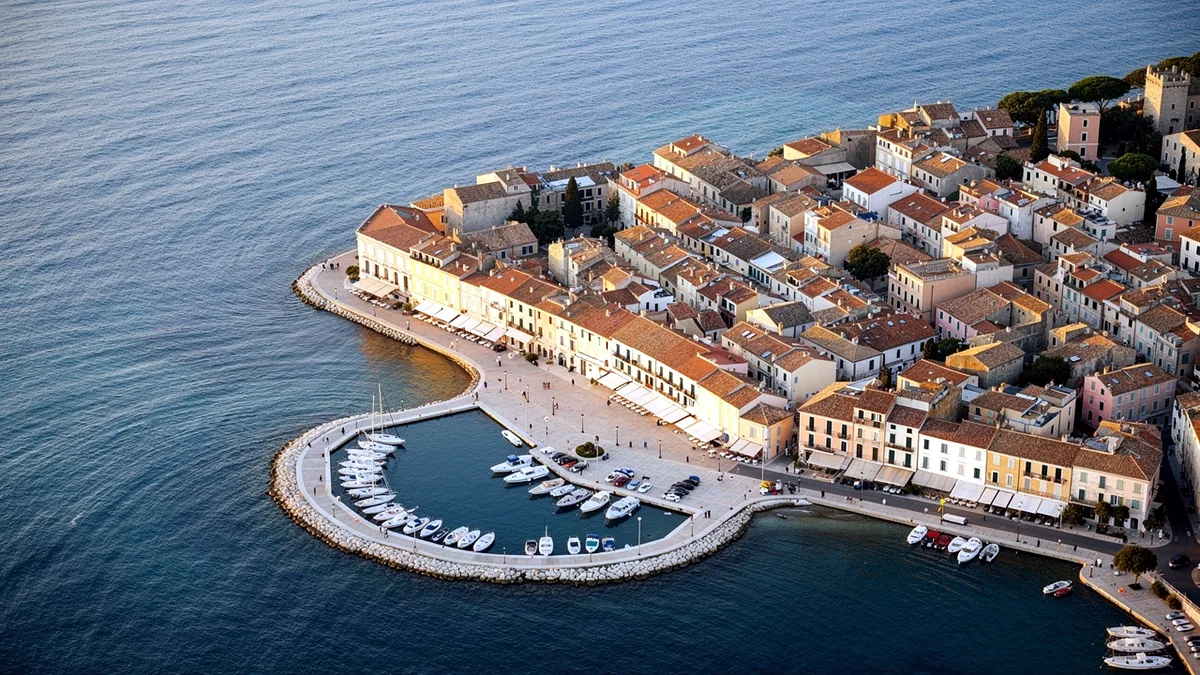
What urban planning covers
The scope of urban planning is the whole territory a city governs, and the 3 layers it works on are the land itself, the networks that cross it, and the buildings that stand on it. The land layer is the use of the ground, where the residential blocks sit, where the industrial land goes, where the open space stays open. The network layer is the infrastructure, the roads and rail lines, the water and sewer mains, the power and communications lines, and the accessibility of every parcel to every other. The building layer is the architecture that the first two layers make possible, the height a block may reach, the setbacks a street may require, and the mix of uses a zone allows. The plan holds the 3 layers in one document so that a decision on a street does not defeat a decision on a building.
How a plan is made
To make a plan, the planner works in a fixed sequence of 4 stages, and each stage produces a document the next stage reads. The first stage is the survey: the current land use, the population and its growth, the condition of the streets and the services, and the history of the area, because the plan is written on top of what already exists. The second stage is the vision, the statement of what the area should become, and the vision is the part the public debates. The third stage is the instrument, the zoning map and the regulations that make the vision enforceable, and this is where the plan becomes law rather than a drawing. The fourth stage is implementation, the review of individual projects against the rules and the periodic revision of the plan itself, which most jurisdictions update every 5 to 10 years. The plan is a living instrument, not a finished picture, and its value is the sequence, the survey before the vision and the vision before the rule.
How urban planning differs from architecture
The difference between urban planning and architecture is the scale of the object each designs, and the 2 disciplines meet at the boundary of the building and its setting. Architecture designs the building, the rooms, the structure, the skin, and the client is the person who will live or work in it. Urban planning designs the ground the building stands on, the street it opens to, and the neighbours it is allowed to have, and the client is the public. The architect works inside the rules the planner writes, and the planner works with the buildings the architect makes, so the 2 are the same discipline at 2 scales, the architecture of the city and the architecture of the house. Where the building fails its neighbour, the fault is often a planning failure, and where the plan feels arbitrary, the fault is often a failure to test it against real buildings.
Why urban planning matters
The importance of urban planning is that the city is a machine the public lives in every day, and the plan is the design of that machine. The 3 outcomes that justify the profession are efficiency, the shortest and cheapest paths between home, work and school; safety, the sanitation and the fire access that keep a dense city liveable; and the public realm, the parks and the squares that the private market would never build on its own. A city without a plan pays for the absence in longer commutes, in streets that flood, in the open land that was sold off parcel by parcel. The plan is the drawing of the city as a whole, and the architecture of the public realm is the part of the discipline the public meets most, on the street and in the park, every day.
Where to start
 1. START HEREUrban Planning JobsUrban planning jobs are the positions where the discipline of urban planning is practised, and they sit in 3 kinds of employer.
 2. START HEREUrban Planning InternshipsUrban planning internships are the paid and unpaid positions where a student does the real work of the planning department.
 3. START HEREUrban Planning DegreeAn urban planning degree is the formal education that teaches the discipline of urban planning.
Pages on urban planning for students and job seekers
 PAGES ON URBAN PLANNINGUrban Planning SalaryUrban planning salary is the pay the profession of urban planning earns, and it is set by the 3 forces that price every public facing profession.
 PAGES ON URBAN PLANNINGUrban Planning BooksUrban planning books are the written record of the discipline of urban planning, and they are the 3 kinds of text the profession is built on.
 PAGES ON URBAN PLANNINGUrban Planning MastersAn urban planning masters is the graduate degree that qualifies a professional for the practice of urban planning.